
Eye of the Sahara
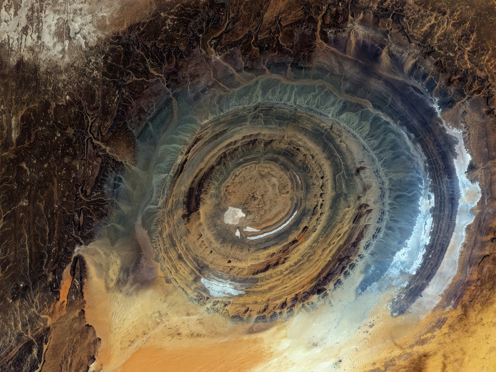
The Richat Structure, or Richat dome, is a spectacular circular geological formation 40 to 50 km in diameter, situated in the Mauritanian Sahara and nicknamed the “Eye of the Sahara”. Known locally as Guelb er Richât, it is one of the most spectacular examples in the world of a magmatic concentric alkaline complex: an aesthetically beautiful and unique geological feature whose outline is pronounced by the contrasting landscape of the wider Sahara Desert.
Location and dimensions
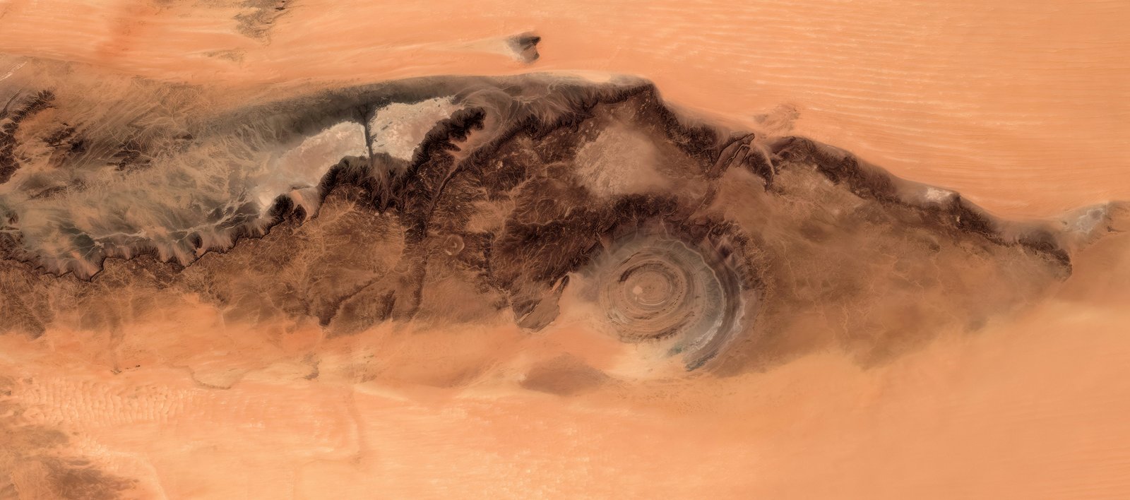
The structure lies in the Adrar massif, near the historic city of Ouadane, to the north-west of the Taoudeni Basin — the largest sedimentary basin in West Africa. Its diameter varies according to sources between 40 and 50 kilometres, and it is visible in its full extent only from the air or from space.
Geological characteristics
The Richat Structure is a slightly elliptical eroded dome, composed of concentric rings alternating between light and dark rock. The exposed sedimentary layers range from the late Proterozoic at the centre to Ordovician sandstone at the periphery. The sedimentary beds dip at 10 to 20°, and differential erosion has carved circular cuestas and an inverted relief in which the centre forms a slight elevation.
Origin and formation
Long regarded as a scientific mystery, the structure has been a case of scientific debate about the origin of ring structures in the world, with several studies seeking to determine whether it was an impact structure or an intrusive feature. It is a case in point showing that serious scientific inquiry can lead to definite answers.
It is today interpreted as the remains of an eroded geological dome, resulting from an underlying magmatic intrusion that deformed the overlying sedimentary layers. Igneous rocks such as rhyolites and gabbros, together with a central mega-breccia, are exposed at the centre of the formation. The formation dates back several hundred million years, with geological processes spanning the Mesoproterozoic to the Carboniferous, including phases of erosion and tectonic uplift.
Scientific and historical importance
The Richat Structure is an exceptional geological site, recognised by the International Union of Geological Sciences (IUGS) as one of the 100 geological heritage sites of major scientific value. It was first described in 1916 and mapped in 1922, but its complete shape was revealed only in 1965, thanks to images from the Gemini space programme. The area also contains Acheulean stone tools, bearing witness to prehistoric human occupation.
Observation
Nicknamed the Eye of the Sahara, the structure is particularly spectacular seen from space, where its concentric rings are perfectly visible. Its almost perfect geometry and its inverted relief make it a unique landmark for astronauts and geologists alike.